Getting Oriented
The main road to the Deep South is the paved Southern Highway, which runs 100 miles (164 km) from the intersection of the Hummingbird Highway/Stann Creek District Highway to Punta Gorda (PG).
As you travel south on the Southern Highway, the Great Southern Pine Ridge is on your right, starting at about Mile 55. Farther in the distance are the Maya Mountains. On your left (though not visible from the highway) is the Caribbean Sea, and farther south, beyond Punta Negra, the Gulf of Honduras.
Branching off the Southern Highway are mostly unpaved roads, some barely more than muddy trails that lead to small villages. The San Antonio Road, from the Southern Highway about 14 miles (23 km) north of PG, has been beautifully upgraded and paved all the way to the Guatemala border, where an official border crossing is expected to be established. Currently, local residents cross back and forth freely, but there is no legal way to get exit and entrance permits.
Punta Gorda. Many of the handful of restaurants and shops in PG open and close at the whim of their owners, and therein lies some of the charm of this little town. It's a sleepy, friendly, overgrown village with a beautiful setting on the bay.
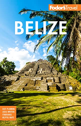
The Maya Heartland. Nothing else in Belize is quite like the Maya Heartland, where contemporary Mayan villages sit next to ancient ruins. Here also you'll see verdant rain forests, rice plantations, and cacao farms.
Advertisement